Welcome to Fridaythorpe
CLICK FOR 2021 CENSUS DATAIntroduction
Fridaythorpe is a village and civil parish in the East Riding of Yorkshire, England. It is situated approximately 8 miles (13 km) north-east of Pocklington town centre and lies on the A166 road. It is 550 feet (170 m) above sea level, making it the highest village in the Yorkshire Wolds. According to the 2011 UK census, Fridaythorpe parish had a population of 319, an increase on the 2001 UK census figure of 183.St Mary's Church, Fridaythorpe was restored in 1902–3 with the addition of a new north aisle designed by C. Hodgson Fowler and stained glass by Burlison and Grylls. In January 1967 the church was designated a Grade I listed building and is now recorded in the National Heritage List for England, maintained by Historic England. It is on the Sykes Churches Trail devised by the East Yorkshire Churches Group.The Yorkshire Wolds Way National Trail, a long distance footpath passes through the village and the village is the midpoint of the trail. Village amenities include a Mace general shop and petrol filling station, an agricultural store, a vehicle mechanic business, and a cafe. In 1823 Fridaythorpe inhabitants numbered 275. Occupations included eleven farmers, three wheelwrights, two blacksmiths, two grocers, two shoemakers, three tailors, a tanner, and the landlords of the Cross Keys and Hare & Hounds public houses. Carriers operated between the village and Driffield every Thursday, and York every Saturday. In the village was a Methodist chapel.The village previously hosted the World Championship Flat Cap Throwing Competition at its summer fete. The championship was last contested in 2014.
Parish Information
Parish statistics
Area |
776 hectares |
|---|---|
Population |
330 (2021) |
Density |
43 people/km2 |
Mean age |
40.9 |
Ward |
Wolds Weighton |
District |
East Riding of Yorkshire |
Postcodes |
YO25 |
ONS ID |
E04000396 |
Council
Contact details for Fridaythorpe Parish Council, including current councillors, precept data and election results.
Education
View educational establishments in Fridaythorpe Parish. Data includes OFSTED rating and current appointed governors.
Business
Business directory listing local businesses operating within Fridaythorpe Parish.
Planning
View recent planning applications submitted for Fridaythorpe Parish.
Property
Price paid data for all property sold in Fridaythorpe Parish since 2018. Includes average prices for each property type.
Heritage
Local heritage sites, historic churches, heritage pubs plus local heritage initiatives for Fridaythorpe Parish.
Local News

Hosted and licensed by The Yorkshire Post
Village of the Week: Fridaythorpe is the highest settlement in the Wolds and what it lacks in amenities it makes up for in ...
Published: 5th Apr 2024

Hosted and licensed by Hull Live
Mobile speed cameras in Hull and East Yorkshire areas, November 5-12
Published: 5th Nov 2023

Hosted and licensed by BBC.com
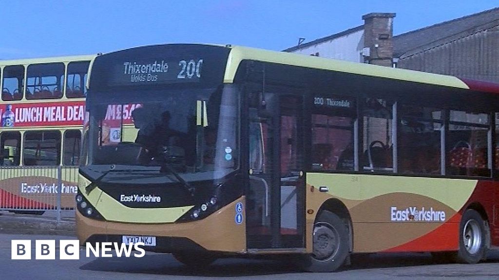
Yorkshire Wolds: Weekend buses run between Pocklington and Thixendale
Published: 30th Mar 2024